Showing posts with label Schuylkill River Trails. Show all posts

Sunday, September 5, 2010

Gring's Mill Rec Area


Gring's Mill Rec Area, originally uploaded by Berks_Awhile.

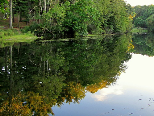
Gring's Mill was the starting point for a walk on the Union Canal Trail along the Tulpehocken Creek.

Union Canal Trail (part of the Schuylkill Trail System) offers scenic views of Gring's Mill, Red Bridge (covered bridge), Berks Heritage Center, plus other sites depending on how far you venture.

Summer highlights at Gring's Mill include annual festivals and the Summer Concert Series held at the outdoor amphitheater on Sunday evenings, Memorial Day through Labor Day weekend. Gring's Mill also hosts the Holiday Lights Program during the month of December.

Rental space is available for large groups, with numerous recreational activities.

Wednesday, October 14, 2009

Schuylkill River (Thun Trail)


P1210458, originally uploaded by Berks_Awhile.

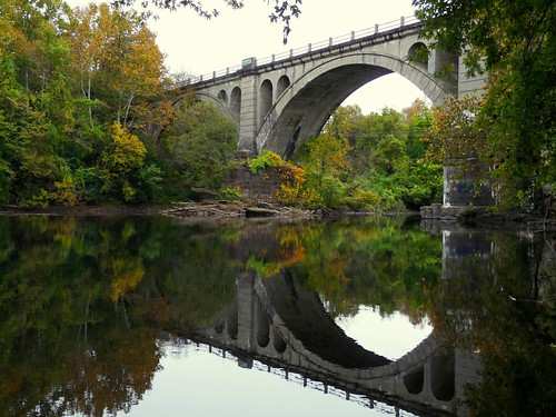
Rapidly changing fall colors drew me to the Brentwood Trailhead for a view of the reflections on the Schuylkill River.

The Brentwood Trailhead is part of the Schuylkill River Trail system and is located on SR10 just up the road from Angelica Park.

Sunday, March 15, 2009

Kernsville Dam (First Visit)


I wanted to start exploring Northern Berks County's vast natural offerings and a good place to start was Kernsville Dam. The Blue Mountain Wildlife organization manages the area and their website has a photo gallery and information about upcoming events.

I drove Max to the parking area adjacent to the dam. From there we walked along the road to the final parking lot. Then we walked along the river for another mile. At the end, an outcropping of graffiti-covered rocks offered views of the SR61 overpass plus impressive river views.

In Northern Berks, Hawk Mountain is probably the most obvious venue. Surrounding Hawk Mountain are massive State Game Lands 106 & 110 to research. The Blue Mountains and Kittatinny Ridge are on my radar too. The Schuylkill River Trail system is becoming a good resource for hikes along the river.

Consistent with my other research on Berks County, it was a time consuming and fragmented process. If information can be found, it tends to be localized. The lack of a clearinghouse of nature information reinforces one of the premises for this site.

One of my favorite new online map tools is the ACME Mapper for it adds topo to the usual tools. Topo and Googles Terrain maps are useful for finding vista's, lakes, streams and you can even estimate sun angles.